In Abbadia Lariana a single low-level loop, starting and ending at the station or the landing stage, passes four churches, a village with its wash house, a terrace over the lake with fifteenth-century frescoes, and the lakefront with its beaches. It is the Anello a Lago, a half-day walk.
The route comes from a description published on 3 September 2012 by the Pro Loco Lario Orientale, presented jointly by the CAI of Mandello, the Comune of Abbadia Lariana and the Pro Loco. According to that page the loop starts and ends at the station or landing stage, at 210 metres, has difficulty T (tourist), climbs and descends 70 metres and takes about 1 hour 30. These are 2012 data. In 2023-24 the Comune redrew its trail map and defined nine new loops, including an «Anello Lago-Cascata»; we could not read the data of the new loops (the tourism site publishes them in an interactive map) and so cannot say whether one of them follows this route. For the «Abbadia Trekking 2026» outings the Comune gives 3 hours of walking and medium difficulty for the lake-and-waterfall loop, which do not match the 2012 data (1 hour 30, difficulty T). Before setting out, check the signs on the ground and the Comune’s map.
The walk at a glance
| Passage | What it is | What the 2012 description says |
|---|---|---|
| Station or landing stage | start and finish, 210 m | follow the «Sentieri» signs to the railway underpass in via Val Zerbo |
| San Rocco | church born of a vow | at the church bear right and climb via per Robbianico |
| Votive shrine | where the paths divide | left for the Anello a Lago, right for the Waterfall loop |
| Former San Bartolomeo | early medieval church, now private | the loop’s own signposting starts here |
| Novegolo and Linzanico | village with alleys and a wash house | a climb leads to Linzanico |
| San Giorgio | small church with frescoes of 1475-1485 | descend under the dual carriageway, terrace over the lake |
| Parco Chiesa Rotta | lido with bar and playground | reached from the first houses of Abbadia |
| Lakefront and San Lorenzo | landing stage and parish church | Passerella del Conventino over the Zerbo |
| Parco Ulisse Guzzi | last stretch towards the station | optional extension to Punta Abbadia |
From the station to San Rocco
From the station or landing stage, follow the «Sentieri» signs to the railway underpass of via Val Zerbo. Beyond the tunnel continue along via della Quadra, via Stoppani and via San Rocco. The hamlet is named after the church of San Rocco, built after the cholera of 1836 as a vow of the inhabitants and blessed in 1856. Inside is an altarpiece of 1616 showing Saint Charles. Here you bear right and climb via per Robbianico.
To the shrine and San Bartolomeo
The climb ends at a votive shrine where the paths separate. To the right begins the other loop, the Waterfall one; to the left, following the «Sentieri» sign, you reach the former church of San Bartolomeo, in the Castello district. It is one of the oldest churches in the village, born beside the residence of the Benedictine abbots, deconsecrated in 1970 and bought in 2013 by a private owner, bound to use it for exhibitions. We have not found opening hours on official sources, so a visit inside is not guaranteed. It is, in any case, the point where, according to the 2012 description, the «Anello a Lago» signposting begins.
Novegolo and Linzanico
You cross the hamlet of Novegolo and a climb leads to Linzanico: a village of Romanesque layout that was an independent municipality until 1928, with a former town hall built around 1830-1840, which has a stone wash house under its portico, and a little church of the Annunciation recorded as early as 1288. The Pro Loco suggests wandering without hurry through the maze of alleys and courtyards. On leaving the village the path runs along the lake between meadows and passes under the dual carriageway.
San Giorgio and the detour to Debbio
The path descends to the church of San Giorgio, on a spur with a terrace overlooking the lake. Even if you reach it from Abbadia, the church lies in the territory of Mandello del Lario. Inside is a fresco cycle of 1475-1485 with the Last Judgment. According to the Comune of Mandello it is open on Saturdays; the page explains what the other sources say, which do not fully agree.
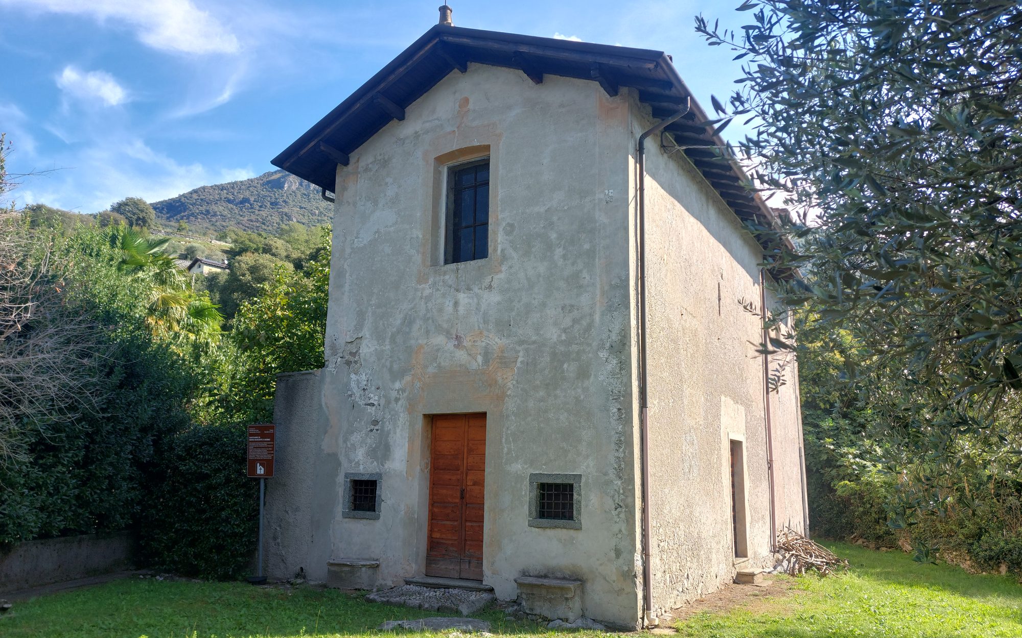
From here the 2012 description retraces the Sentiero del Viandante downhill. After a short stretch there is a signposted detour to the sanctuary of Santa Maria Nascente in Debbio, with a warning to take care at the railway crossing. The sanctuary can be visited by booking with the Pro Loco of Mandello. Back on the path and across an area of fields, you reach the first houses of Abbadia.
From Parco Chiesa Rotta to the lakefront
Descend to the right along via per Linzanico, which comes out under the railway near a pedestrian crossing; after crossing the road, descend on the cobbled path to the park of Chiesa Rotta, where the Pro Loco notes a lido, a bar, toilets and a playground. This is the Lido di Abbadia Lariana, at the northern end of the lakefront. Continuing along the lakeside promenade you reach the landing stage and then the church of San Lorenzo, where the Benedictine abbey of San Pietro once stood: inside are the frescoes by Luigi Tagliaferri from 1915 and a Baroque wooden altar.
Shortly before the church you can take the Passerella del Conventino, which leads to the bridge over the Zerbo (the Pro Loco notes a campsite and a bar). The Comune also points out a lakeside walkway almost 2 kilometres long along the shore, and a mulberry tree at the pier that it calls perhaps the oldest in the village.
To Parco Ulisse Guzzi and Punta Abbadia
To return to the station keep walking along the lake as far as the Ulisse Guzzi park, where you find the beach of Abbadia Lariana, of pale pebbles. Before climbing back up to the station, where there is a sign, the source recommends continuing along the lakefront as far as Punta Abbadia, known as Poncia.
Practical information
- Source and date of the data. Start, time, climb and difficulty come from the 2012 description (Pro Loco Lario Orientale, with CAI Mandello and the Comune). No official source publishes a GPS track of this loop; according to LeccoToday (19 March 2024) the map of the new trails is also available free on the AvenzaMap app. The 1 hour 30 is not accompanied by any statement on whether it includes stops.
- Getting there. The 2012 description starts from the railway station or the landing stage. The Lecco-Bellagio boat calls at Abbadia Lariana: the autumn 2026 timetable is in the guide Getting to Lake Como, to be rechecked after 1 November.
- Railway. The route crosses the line in several places, with underpasses in via Val Zerbo and near via per Linzanico; on the detour to Debbio the source warns to take care at the railway crossing.
- Churches. For San Rocco, the Annunciation at Linzanico and San Lorenzo we have not found hours on official sources; the former San Bartolomeo is private property; San Giorgio and Debbio have their own ways of visiting, given on their pages.
- Parking. Those arriving by car find the paid car park of Parco Ulisse Guzzi, near the beach (eccoLecco data, July 2026, reported on the page).
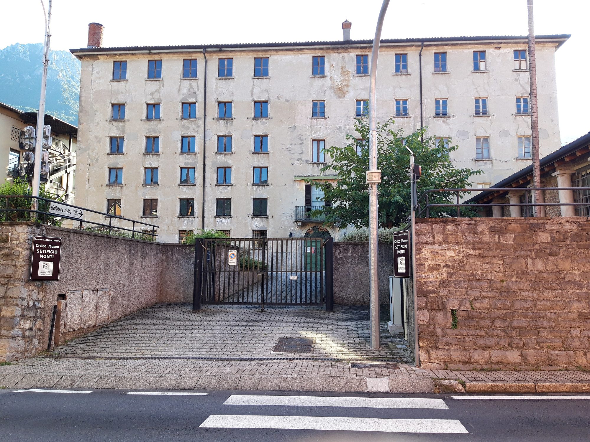
- Museum. The Civico Museo Setificio Monti, in via Nazionale, is open Wednesday to Sunday with varying hours: check the museum’s website.
- From 26 September to 25 October 2026 the Comune runs «Abbadia Trekking»: free guided outings on registration, with different themes (visitabbadialariana.it). After the end of October this information will be out of date.
Sources
- Pro Loco Lario Orientale, Abbadia Lariana: Anello a Lago (3 September 2012)
- Pro Loco Lario Orientale, Abbadia Lariana: Nuovi percorsi (3 September 2012)
- LeccoToday, Abbadia capitale del trekking: nascono 9 nuovi itinerari (19 March 2024)
- Abbadia Lariana Turismo, Abbadia Trekking 2026
- Abbadia Lariana Turismo, Punti di interesse, with the pages on the lakeside walkway and the mulberry at the pier.
- The sources for each stop are on their own pages.